


The Alabama River begins north of Montgomery at the junction of the Tallapoosa and Coosa rivers. It flows southwest from Montgomery, joining with the Cahaba River near Selma, down to Mobile Bay.
Rivers of Alabama Gallery
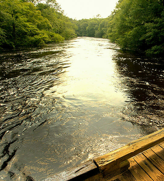
Alabama is criss-crossed by 17 major river systems encompassing some 132,000 miles of channels. The state leads the nation in miles of navigable channels with 1,438 miles. Damming of rivers for power generation has created numerous lakes, as well. Most of Alabama's rivers flow toward the Mobile-Tensaw Delta in the southwestern corner of the state, which empties into the Gulf of Mexico. Alabama's water resources are a significant draw for economic development and recreation and support the state's high biodiversity, including the world's greatest number of freshwater mussel species.


